- Faculty: Ace Bajao
- Faculty: Jannet Bencure
- Faculty: Celestial Manigo
- Faculty: Florentino Jr. Morales
- Faculty: Rianel April A. Palo
- Faculty: Marjorie Timbal
- Faculty: Ace Bajao
- Faculty: Jane Melody Grace Marapao
- Faculty: Martin Jan Mercurio
- Faculty: Jannet Bencure
- Faculty: Jane Melody Grace Marapao
- Faculty: John Noli Pomentil
Undergraduate research proposal and data
gathering
- Faculty: Florentino Jr. Morales
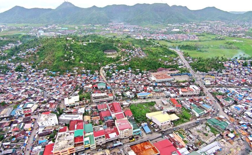
This course covers the following topics: Concepts and elements of land use planning and development; nature and scope of land use planning and development; role of planners; land use and development planning process models; steps in the planning process and basic plan formulation/preparation; laws related to land use planning in the Philippines, GIS and Remote Sensing concepts and applications to land use planning and development.
- Faculty: Carolina M. Balmoria
- Faculty: Florentino Jr. Morales
- Faculty: John Noli Pomentil
- Faculty: Glenda Loraine Sobrio
Geodetic Engineering professional courses offered by the department, out of which a student has to opt for only one subject to study and qualify that suits his/her aptitude, interest, ability and career goal.
This year's elective course offers Urban Planning.
- Faculty: Rey Mark Alfante
- Faculty: Ace Bajao
- Faculty: Carolina M. Balmoria
- Faculty: Jannet Bencure
- Faculty: Celestial Manigo
- Faculty: Jane Melody Grace Marapao
- Faculty: Martin Jan Mercurio
- Faculty: Rianel April A. Palo
- Faculty: Glenda Loraine Sobrio
Introduction to Geographic Information System
(GIS) focuses on understanding the concepts of GIS, its historical development,
the different components and its application as a tool to the different fields
or disciplines. The GIS course will be a combination of lectures, laboratory
exercise and workshops, attendance to GIS-related conferences/symposium and
visits to different institutions using GIS.
- Faculty: Jannet Bencure