
- Faculty: Ace Bajao
- Faculty: Carolina M. Balmoria
The course covers
error sources, classification, and propagation; probability theory; and matrix
algebra fundamentals essential for solving linear systems. Students master
least squares adjustment for linear and non-linear geodetic models using
observation equations and statistical inference techniques, including
confidence intervals, hypothesis testing, and curve fitting. Laboratory work
applies computational methods (spreadsheets/software) to solve error
propagation in traverse surveys, angle/distance observations, and elevation
determination. Emphasis is placed on data quality assessment through numerical
descriptors, graphical representation (e.g., histograms), and
precision/accuracy validation. The course equips students with a strong
foundation for ensuring data reliability in real-world surveying problems and
advanced geodetic adjustments.
- Faculty: Martin Jan Mercurio
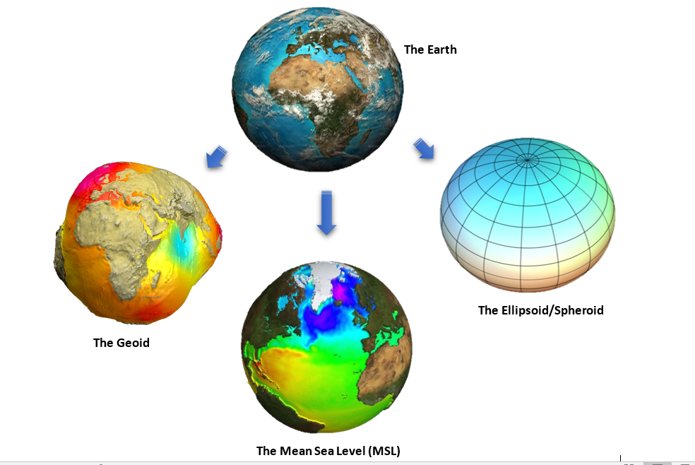
Principles of the establishment and densification of horizontal and geodetic
control networks; triangulation; trilateration; traverse; total station systems;
global position systems; accuracy standards and specifications; the Philippine Reference Systems of 1992- Faculty: Eulalio Colubio

Basic organization for oral presentations; using
visual aids in oral presentations.
- Faculty: Ace Bajao
- Faculty: Florentino Jr. Morales
- Faculty: Ace Bajao
- Faculty: Alan Loreto
- Faculty: Diana Christa Milloza
- Faculty: John Noli Pomentil